When maps tell a story.
Drop in reports, spreadsheets, photos or news. Agents built on Muse find every event with a place and a time, hunt for patterns, and hand you an animated map you can question in plain language.
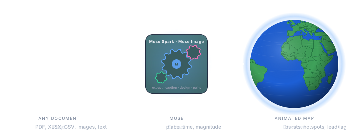
Everything happens somewhere, at some time. Almost none of it arrives as a map.
- Reports, spreadsheets, journals, camera rolls, news. The where and the when are in there, buried in prose and columns, and turning them into a map is a specialist's job.
- ArcGIS is priced for enterprises: hundreds to thousands of dollars a seat, every year, before training.
- QGIS, the open-source alternative, is free and clunky: a course to learn, a day of plugins and projections to make one map.
- The map that moves through time, the view that makes patterns obvious, is almost never built.
AIGIS reads the files, finds every located, dated event, and plays it back on a map you can question.
- Any input: PDF, CSV, XLSX, Markdown, photos with EXIF, scans and charts.
- Agents built on Muse Spark extract every event with place, time, value and a confidence score.
- A pattern engine scores bursts, hotspots, outliers and silences.
- An animated story: scrub it, design its look, share a link.
- Ask in plain language; the model answers with evidence and moves the map itself.
Geospatial analytics is a specialist market today. The people with the documents are not specialists.
- Geospatial analytics: about 100 billion dollars a year, growing 11 to 13 percent, built for trained GIS users.
- AIGIS moves the starting line: anyone with a folder of files gets the animated map, the findings and the conversation.
- Newsrooms, supply chain and insurance analysts, public health, researchers and historians, tour and event operators, brands, families with a camera roll.
Next.js on Vercel, Muse through the AI Gateway, open geodata for everything else.
- Vercel Functions run the ingest pipeline, the pattern engine and the chat agent with the AI SDK.
- Meta's Muse models are reached through the Vercel AI Gateway: one key, zero data retention, no other provider.
- Deterministic and open: MapLibre, OpenFreeMap tiles, Photon and Nominatim geocoding, Natural Earth relief, Vercel Blob.
Every judgment in AIGIS is a Muse call.
- Six Muse Spark 1.3 jobs and one Muse Image 1.0 job, each a single call with a typed schema.
- Everything the model returns is validated before it reaches the map; the geocoders, statistics and rendering only give it evidence and draw what it says.
- Reasoning effort is set per call, so extraction answers in seconds and the agent moves the map as it talks.
Prose, PDFs and scans become typed events: place, time, value, confidence, quote. Schema-validated.
EXIF gives where and when; vision writes the title, summary and category.
One call maps the headers onto the schema; rows convert without the model.
OpenStreetMap geocoders first; venues and historical names they miss go to Muse in batches.
Streams answers and calls focusMap and queryEvents, so the map moves as it explains.
A one-line brief becomes a complete basemap style: thirty fields, as JSON.
Paper, toner, canvas and wash, painted as tiles and blended over the map in screen space.